
What’s in the Mars 36 Pocket Atlas?
The Mars 36 Pocket Atlas contains sections at the beginning and end with information and context on Mars. The main part of the atlas (pages 18-77) are double-spread maps showing the surface of Mars divided into 30 “quadrangles”, or regions covering a specified range of latitudes and longitudes on the Martian surface.
In addition, the atlas contains maps of topography, albedo (brightness), climate, weather and geology.
If you have received a print copy of the Mas 36 Pocket Atlas from Cornwall Sea to Stars, you should find inside an A4 pull-out poster that you can stick on your wall, as well as a transparent outline of Great Britain to make it easier to understand the scale of features on Mars.
Things to look out for:
- Which quadrangle has the highest point on Mars? (Clue: look out for the biggest volcano in the Solar System.)
- Which quadrangle has the lowest point on Mars? (Clue: look out for the largest canyon in the Solar System.)
- Where are you most likely to find water ice?
Why is it called the “Mars 36” Pocket Atlas?
The Atlas contains a calendar for Mars year 36, which covers two Earth years (2021-2022).
Legend or key to symbols
Just like maps of the Earth (e.g. Ordnance Survey maps of the UK), the Mars Atlas uses symbols to highlight features and give more information about the martian surface.
Examples of symbols found in the Mars Atlas:
 | Alluvial Fan | 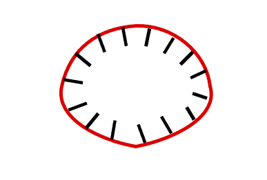 | Cadera (volcanic crater) |  | Cave |
 | Channel or Valley Network |  | Delta | 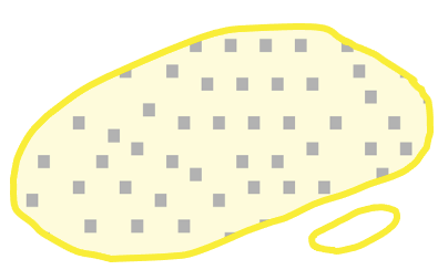 | Dune |
 | Flood |  | Fracture |  | Glacier feature |
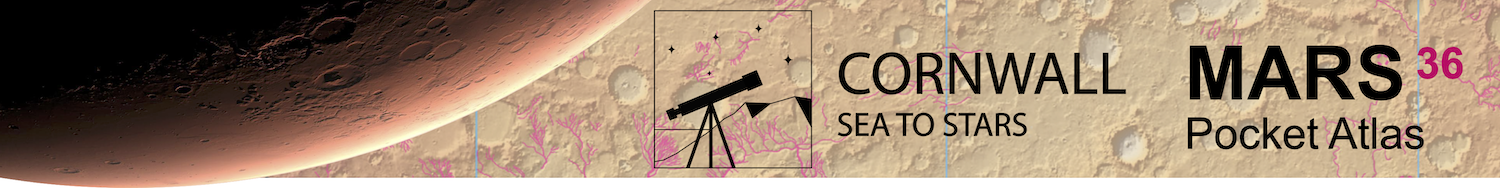
 | Ice deposit |  | Impact crater |  | Outflow (flood) channel |
 | Paleolake (ancient lake) |  | Ridge |  | Rille (steep sided channel) |
 | Scarp (cliff) |  | Spacecraft landing site |  | Volcanic cone |
Activities
These activities can support teaching elements of the KS2 Geography Curriculum:
- Use maps, atlases, globes and digital/computer mapping to describe features studied.
- Use the eight points of a compass, four and six- figure grid references, symbols and key (including the use of Ordnance Survey maps).
Mars Atlas Bingo: Put pupils in pairs and give each pair a Mars Atlas Bingo Card. Show a quadrangle of the Atlas (online or double-page spread) and call out which symbols are present. Download the bingo cards.
Odd one out: Which symbol is the odd one out and belongs on Ordnance Survey (OS) maps of Earth, instead of the Mars Atlas? Download the ‘Odd one out’ cards.